


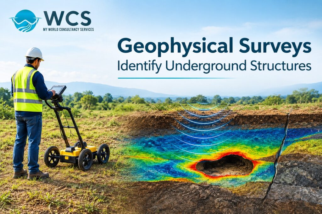
If we are to operate, work, develop or study the surroundings of our planet Earth, then it is necessary that we have some knowledge regarding what lies beneath the surface of our planet. Any information on the type of rocks, faults, cracks, utilities, cavities and water-bearing zones is very important for the safety of the operations and success. Some of the conventional ways of studying the subsurface include drilling and excavation. Although such techniques enable us to get all kinds of information about the subsurface, they can become time consuming and expensive if used exclusively.
The Geophysical Surveys identify underground structures with the use of the physical properties of soil, rocks, and other subsoil constituents. Such an approach allows the engineer or geologist to get the idea about what lies underground before starting the digging operations. Using the results of Geophysical investigation services, the engineer or geologist can choose the next move.
What Are Geophysical Surveys?
Approaches used in the scientific assessment of features located under the ground surface by means of measurements of physical properties like electrical resistance, magnetic properties, speed of seismic waves, and gravity differences are referred to as geophysical surveys.
Geophysical surveys will aid in identifying changes in the physical characteristics of the subsurface materials and identify any subsurface materials that may have been buried beneath the earth’s surface but cannot be seen from above. Geophysical surveys are performed based on the requirements of the specific project either covering the entire construction project site, mining site, industrial plant, road, dam, and other infrastructural developments.
The most common types of geophysical surveys include electrical resistivity surveys, seismic surveys, ground penetrating radar surveys, magnetic surveys, and electromagnetic surveys. The above geophysical survey types have different limitations based on the purposes they are used for.
How Do Geophysical Surveys Identify Underground Structures?
1. Detecting Geological Layers and Rock Formations
These geophysical explorations are aimed at establishing the presence of various types of soil, weathered rock, bedrock, and other geological formations that may lie under the surface. Differences in the physical characteristics can help establish the location of the boundary line between the various materials found underground.
The application of the seismic survey enables one to measure the propagation of the seismic waves in the underground of the earth. The velocity changes of those waves will help to define the kind of geological formations found underground and the distance to the bedrock.
This information can prove helpful in determining the suitability of a place in terms of construction of foundations of buildings, roads, provision of public services (infrastructure) or geological exploration.
2. Identifying Underground Voids and Cavities
The presence of underground voids and cavities can create serious complications to the construction of any kind of buildings, roads, tunnels, and other kinds of structures. Underground voids/cavities, abandoned mines/mines workings and underground openings can make the subsoil vulnerable and result in settlement or collapse.
Geophysical surveys are used to find where voids exist beneath the earth’s surface. Voids can be identified by the different ways that energy passes through them than through surrounding rock, soil, etc. There are three types of geophysical survey methods that are commonly used to locate voids: electrical resistivity tomography (ERT), ground-penetrating radar, and microgravity surveys. Which type of survey is best depends upon what kind of geology exists in the area being studied, how deep down the void might be, and how large it is likely to be.
Investigators find where they need to look at more using these techniques. But, a geophysical anomaly isn’t proof there is a hole in the ground. You might need to check if there really is a hole by doing something else such as drilling, making a hole (borehole) or looking around.
3. Locating Geological Faults and Fractures
Faults and fractures are geological structures that can have an impact on water flow, slope stability, and foundations’ performance. In case of work in mining and other kinds of engineering projects, the recognition of these structures will serve as a tool that helps in assessing the level of risks from geological processes.
A change in the nature of the surface of the Earth connected with fractures and rock displacements can be discovered through geophysical methods. The use of the electrical resistivity method and seismic surveys can help in finding places where there is likely to be fracturing and discontinuities in the geology.
This kind of information will be useful in performing geological mapping, mineral exploration, and engineering works analysis. The early recognition of such features can help in conducting further research.
4. Mapping Groundwater-Bearing Zones
Groundwater is a very important part of many different areas such as construction, agriculture, mining and environmental protection. There are several ways to investigate what is underground by using geophysics. These studies can find underground regions where there may be groundwater present, or where water can flow through.
Electrical resistivity studies are frequently utilized to examine differences in electrical properties of the earth’s surface. In areas where there are some types of geological formations present, these differences can assist with identifying the locations of weathered zones, fractured rocks, and possibly water bearing formations.
The interpretation of geophysical findings must occur with the assistance of local geology, borehole information, and hydrogeology data. By integrating these three types of data, a clearer picture of the conditions of the groundwater will result. This integrated approach can help in the exploration of groundwater resources and the planning of sites.
5. Detecting Buried Utilities and Man-Made Structures
If underground water pipes, power lines, drain systems, tanks, etc. are located on a job site where you plan to excavate or build, but you don’t know exactly where they are, they could potentially block your ability to do the work.
Ground penetrating radar (GPR), which uses electromagnetic waves to detect subsurface features, may be a useful tool when attempting to locate shallow buried objects in areas where the soil/ground condition is favorable. Electromagnetic locating techniques may be able to assist in identifying specific conductive utility systems.
Accurate mapping of underground utilities will lower the potential for unintended damages, project delays, and safety hazards. The best method for locating each utility is based upon its material, how deep it is, what type of soil surrounds it, and the type of utility that was installed below ground.
6. Supporting Mineral Exploration and Mining Projects
The use of geophysics is very common for mineral exploration. It allows us to examine the geology below the surface and locate areas of potential anomaly which could lead to mineral deposits. There are several types of geophysical methods available such as magnetic, electromagnetic, induced polarization, and electrical resistivity that allow researchers to evaluate what is happening beneath the ground.
These surveys help the exploration teams to identify the best places to drill further, as opposed to doing a complete blanket drilling program. In addition to geophysical data being used with other types of data (geological mapping, geochemical analysis, and drilling), this allows them to determine whether or not an area has mineral potential.
In addition to providing potential exploration targets, geophysical surveys cannot independently determine whether there is a mineral deposit and what its economic value may be.
Major Geophysical Survey Methods
According to the goals of your study and the characteristics of the location where you will be conducting your research, different techniques can be used.
- Electrical Resistivity Tomography (ERT): Uses electrical resistivity differences to identify the presence of geological layers, fractures, weathered areas and potentially void spaces.
- Seismic Surveying: Use measurements of the way seismic waves behave to determine what is below the surface, how deep the bed rock is, and the location of different types of geological features.
- Ground-Penetrating Radar (GPR): Employs electromagnetic waves to explore shallow subsurface characteristics, and identify specific buried utilities or structures.
- Magnetic Surveys: Use magnetic field measurements to locate magnetic geologic features and some buried artifacts.
- Electromagnetic Surveys: These surveys measure the electromagnetic response of the earth’s surface to help identify potential sources of conductive minerals or other types of geology.
- Microgravity Survey: Small changes in the Earth’s gravitational field can be measured to find regions where there are different densities than typical, which could indicate a subsurface cavity or void.
Choosing the proper method will depend upon what you anticipate to study, how deep you want to investigate, the type of soil and/or rock present, and your financial resources. Oftentimes when you combine several methods together, you get a better overall picture.
Benefits of Geophysical Surveys for Underground Investigation
Geophysical surveys provide many benefits to support infrastructure development, construction, mining and environmental projects.
First of all, you get data on what is happening underground without having to excavate the whole site. Secondly, you find out where you might need to do some more drilling or tests. Lastly, you can make sure your plans are good because you will know if there are going to be any problems with geology before you start building.
Geophysical investigations may also help to minimize unnecessary exploratory drilling, better map what is below ground, and use available project resources in a more cost-effective manner. The effectiveness of geophysical investigations relies upon proper planning and execution (survey design), selecting the correct equipment, utilizing proper field methods, and having professionals interpret the data collected.
Applications Across Different Industries
Geophysical surveys provide benefits across many industries. Construction projects can utilize geophysical survey results to identify bedrock depth, cavities, and other ground characteristics prior to foundation construction. Mining operations can use geophysical survey data to develop geological maps and locate mineral resources. Road, bridge, and tunnel construction projects can benefit from geophysical survey data to evaluate subsurface variation and identify potential ground-related problems.
Geophysical techniques may be used in environmental investigations to describe subsurface conditions and assist in evaluating the potential for contamination-related features. Appropriate geophysical techniques can be applied to investigate groundwater-bearing formations in water resource projects. It is essential that the technique chosen is consistent with both the project’s goals and geological context.
Why Choose Professional Geophysical Survey Services?
A proper subsurface investigation is more than just obtaining field data. A complete subsurface investigation will involve identifying which method(s) to use for the type of site condition, creating the survey design, processing the obtained field data, interpreting the processed field data, and reporting on the interpreted field data in a manner that can be used by others.
Professional geophysical surveying services assist team members in understanding the subsurface conditions and identifying those parts of the site that require additional studies. Based upon the location of the project, the geology of the site, the intended depth of study, and how the data will ultimately be used, an experienced service provider can suggest appropriate methods to conduct the study.
World Consultancy Services (WCS) is an appropriate resource for businesses interested in obtaining details on the availability of technical services and other types of geophysical surveys. You can find more out about the types of services available from WCS by visiting their website; this will enable you to select the survey that best suits your project’s needs.
Conclusion
Geophysical methods are used to determine the location of subsurface features such as geological formations, rock layers, fractures, cavities, groundwater bearing zones and some types of buried utility lines. The use of these techniques is based on measuring variations in physical characteristics of the materials located beneath the earth’s surface. These techniques provide significant data that can be utilized during construction projects, mining activities, development of infrastructure and environmental studies.
Geological data can be combined with the most appropriate geophysical technique to enhance project planning and decrease risk associated with uncertainty. If needed, additional direct assessment techniques such as drilling will be utilized to confirm key findings.
